LandMonitor
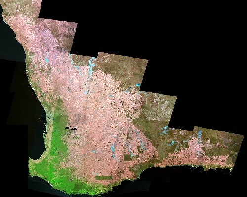
Land Monitor provides data for mapping and monitoring trends in perennial woody vegetation through time, a large digital elevation model and data showing the extent of salinity for the south-western region of Western Australia. It is suitable for natural resource management, catchment and salinity management, planning and environmental monitoring.
Launch »UrbanMonitor

UrbanMonitor map service provides access to calibrated aerial photography mosaics, surface and elevation models, and derived vegetation datasets.
Launch »Services
Many custom services are available in a range of applications utilising satellite imagery at a choice of resolutions.
How can we help you?
- Vegetation, trees, carbon
- Weed mapping & detection
- Resource assessment
- Resource monitoring
- Environmental protection
- Tree clearing regulations compliance
- Parks management and planning
- Vegetation condition
- Wetland Mapping
- Deforestation
- Wildlife habitats
- Conservation planning
- Ecosystem analysis
- Biodiversity assessment
- Landfill site monitoring
- Your idea...
Environment Contact
Norm Santich
Phone: +61 8 9273 7373
norman.santich@landgate.wa.gov.au
